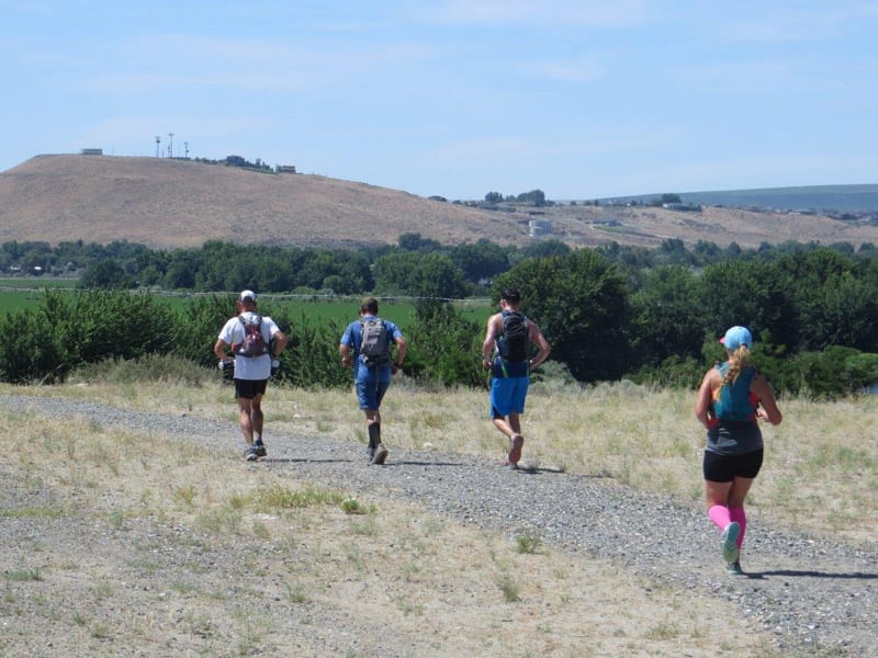
Tapteal Trail
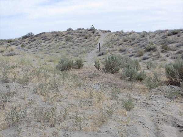
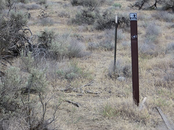
One of the founding, and continuing, missions of the Tapteal Greenway is to create a trail system along the lower Yakima River connecting Bateman Island to Benton City, covering a distance of slightly over 30 miles. The trail crosses multiple jurisdictions along its length: City of Richland, state roadways, Army Corps of Engineers, Benton County, and easements on private property. This patchwork has created some challenges, including posting adequate trail signs. Along the trail, you will occasionally encounter two types of trail markers: mileage marker posts and small Tapteal Trail signs. The mileage markers are designed to be placed every 0.5 miles along the trail. At present they have only been placed between Bateman Island and W.E. Johnson Park. The small signs are intended to be placed strategically along the trail at intersections. To date, they have only been placed between Bateman Island and Twin Bridges Road.
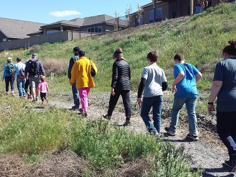
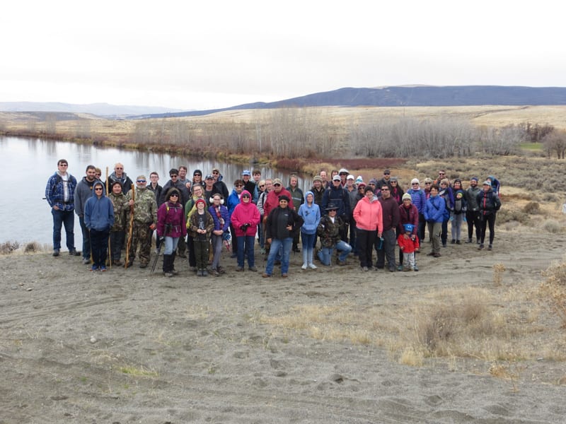
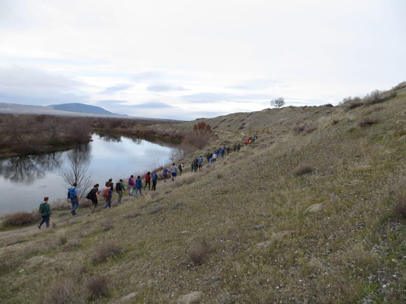
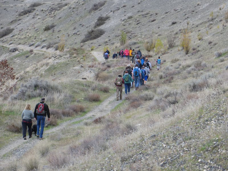
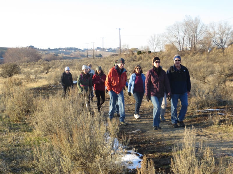
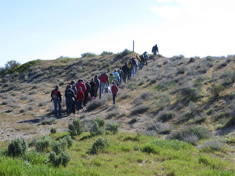
Click on each of the locations below for a corresponding photo


The Tapteal Trail begins along the paved Sacagawea Heritage Trail, starting at the Bateman Island causeway. After crossing the Yakima River, the trail departs from the Sacagawea Heritage Trail by taking the split to the right that leads under the highway bridge. After passing under the bridge and crossing the railroad tracks, the trail leaves the paved path by taking the path to the left that enters Chamna Natural Preserve. Chamna, the largest natural preserve maintained by Tapteal Greenway, has many miles of trails allowing loop hikes through multiple ecosystems, including shrub-steppe, floodplain, and riparian environments.
The Tapteal Trail cuts straight across Chamna and exits at the main parking lot. From there, the trail follows the bike path under the 182 bridge. As the bike path ascends uphill, the trail splits off to the left between the bike path and the river. This section of the trail runs between the river and the apartment complexes, passing by the Duportail boat launch and leading into the south entrance of W.E. Johnson Park. The trail from Chamna to W.E. Johnson boasts expansive views of the Yakima River and beautiful fall colors in October and November, including bright red sumac along with yellow cottonwoods and rabbitbrush.
W.E. Johnson is a small but lovely park that is partly forested, which is not very common in this area. It’s great for bird watching and supports a number of raptors such as red-tailed and Cooper’s hawks. There are posted trail maps that show the path of the Tapteal Trail through W.E. Johnson Park. The trail exits the park at the parking area on Hall Road. From here there is a gap in the designated trail; to get to the next section of marked trail you will have to make your way across Van Giesen and head west towards the river. Once you reach Kingston Road (about 1.3 miles from W.E. Johnson parking lot), head north and continue up the dirt road after the pavement ends. The trail resumes just before the road curves to the left. There is limited parking available along the west side of the road (avoid the east side, as it is private property). From here the trail follows an easement on private property for about half a mile. Initially, the trail heads due east up a sandy hill until it reaches the edge of the Lamb Weston property in about 0.2 miles. At this point the trail heads due north following along the property line for about 0.3 miles, at which point it turns left to follow the edge of a parcel of land owned by the City of Richland. This leads to the west edge of the Horn Rapids community.
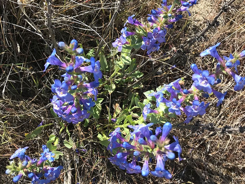
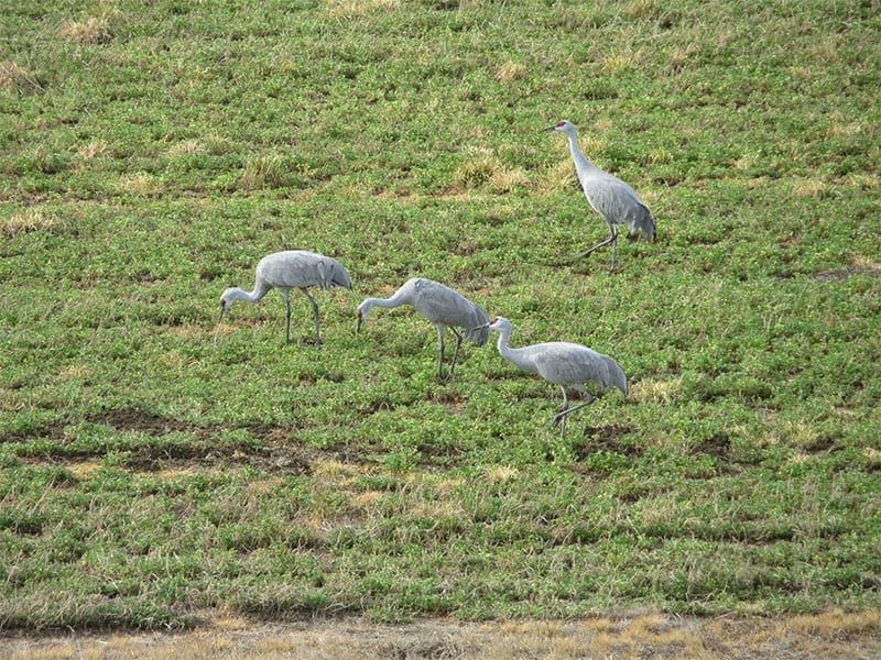
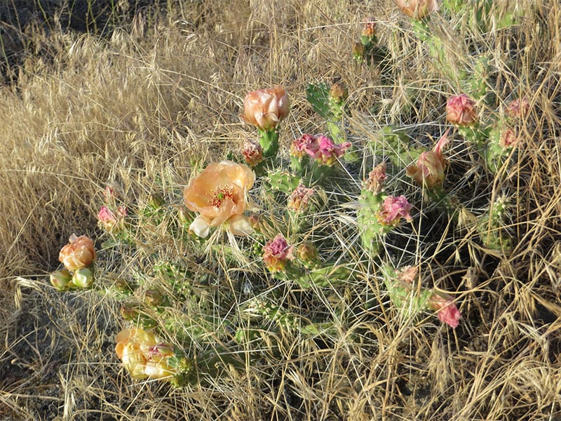
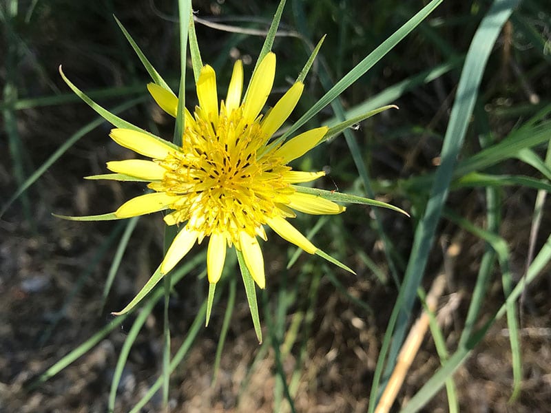
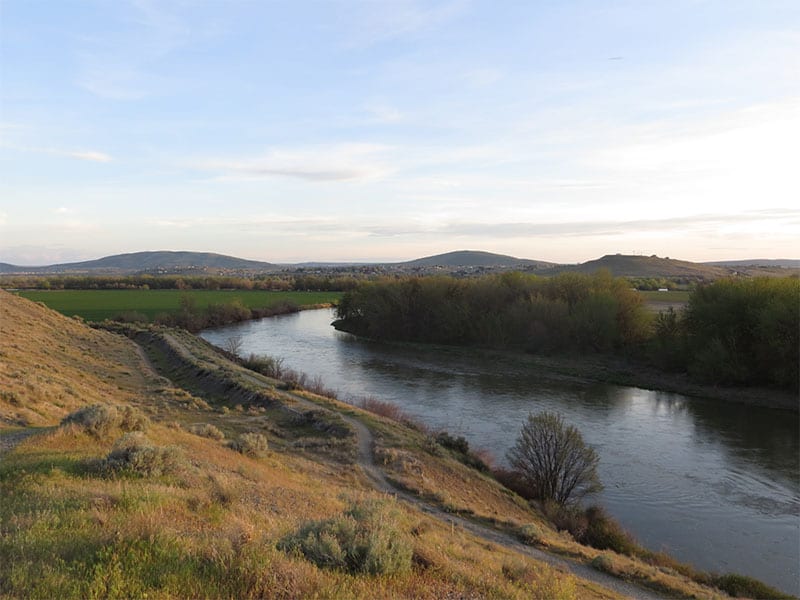
The trail continues along the edge of the Horn Rapids community, encountering the old Richland Irrigation District canal and overlooking a bend in the Yakima River. At the end of the bend in the river the trail heads uphill to the right. Hikers and bikers can follow the graveled trail that continues uphill while equestrians are requested to stay on the sandy trail to the left (these trails merge in a short distance). After the trail merges it leads to an old dirt road that follows along the east side of the old canal. This dirt road section of the trail crosses Twin Bridges Road and continues until it meets Snively Road. The sections of trail from Kingston Road to the end of the Horn Rapids development, and from Twin Bridges Road to Snively Road, feature mature shrub-steppe and have some of the best spring wildflowers in the area, particularly in April and May. In late March and early April, the stretch from Twin Bridges to Snively, which is adjacent to the Barker Ranch, hosts thousands of Sandhill cranes during their northward migration, which are both visible and audible from the trail. Both of these sections of trail are far enough from major highways that they are free from traffic noise.
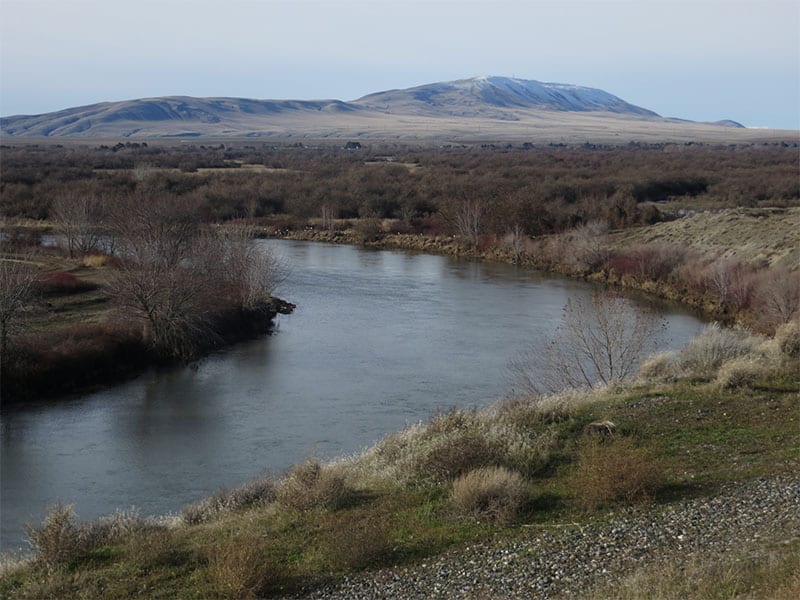
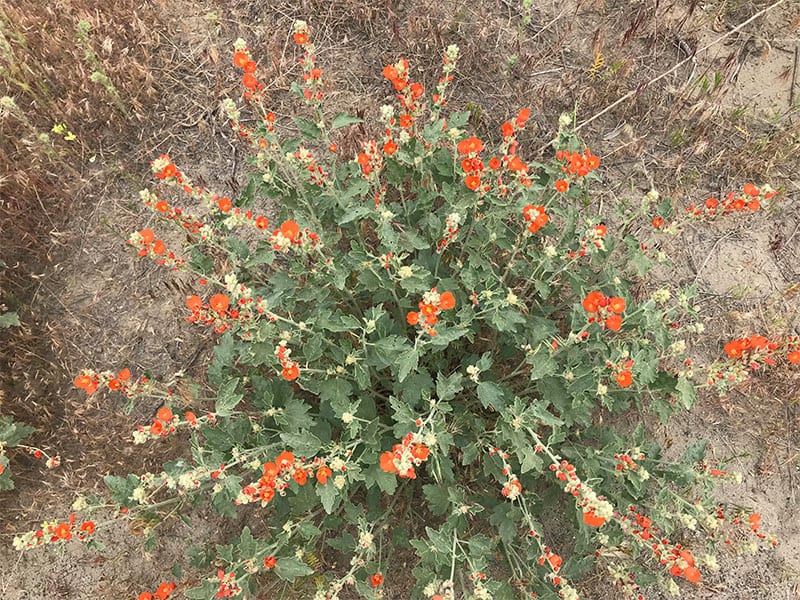
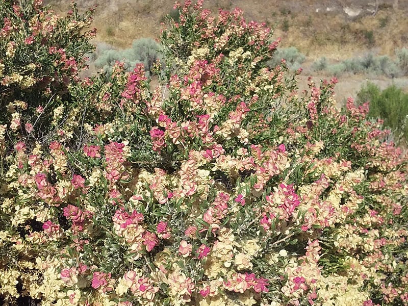
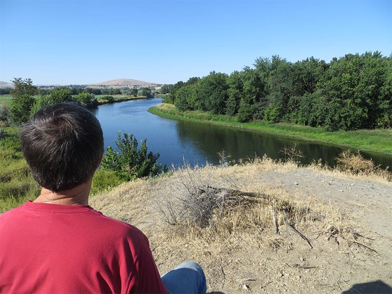
From Snively Road, various paths can be taken to Wanawish Dam. The trail follows the dirt road past the dam as it curves to the left, following the river and heading towards Horn Rapids Park. The trail continues to the gated dirt road and then uphill to an overlook just above the Horn Rapids Park boat launch. The trail crosses the road to the launch and continues briefly along a paved path before branching off to the left. After following along the river, this section of trail leads to a graveled road that continues all the way to the Upper Horn Rapids water trail site. This section is very lightly used and traverses an interesting floodplain environment full of blooming wild roses and golden currants in May. It also sports great views of the river and Rattlesnake Mountain, which is very close at this point in the Tapteal Trail. The river here is almost completely devoid of development, so you can enjoy a scene not much different from what Native Americans saw hundreds of years ago.
The distance from Bateman Island to this point of the trail is roughly 23 miles. The route for the trail to follow from here into Benton City has not been determined yet.