Tapteal Water Trail
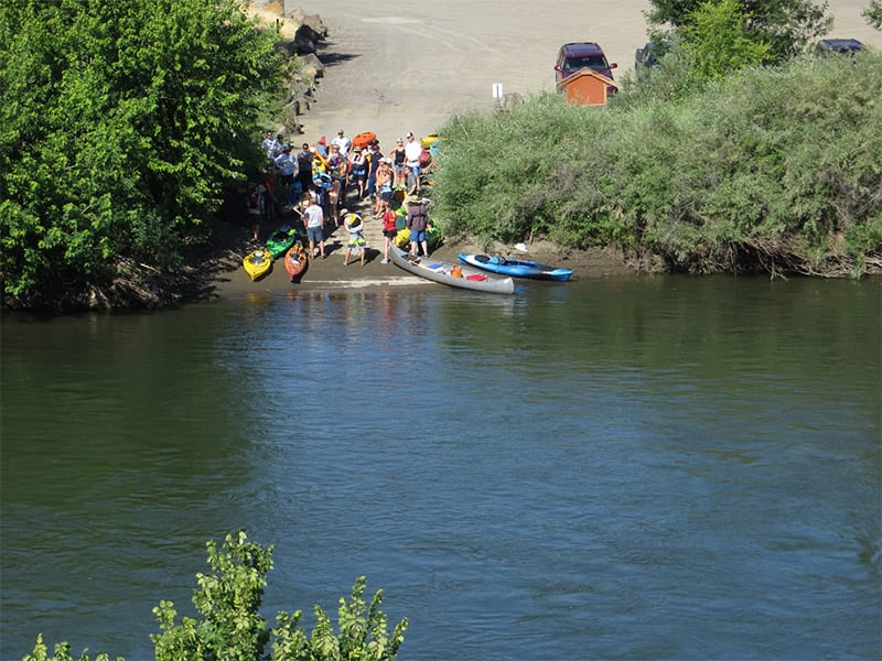
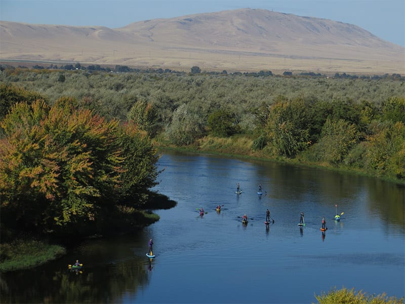
The Tapteal Water Trail is intended to mirror the land side Tapteal Trail along the lower Yakima River, beginning and ending at almost exactly the same locations. While the land-based Tapteal Trail begins at the Bateman Island causeway and mileage is counted going upstream to Benton City, the Tapteal Water Trail begins at the Benton City Recreation Area and Boat Launch and mileage is counted downstream before ending at Bateman Island – a distance of slightly over 30 miles. Every year we put on a couple Tapteal Water Trail paddling events where we provide shuttle support for the participants.
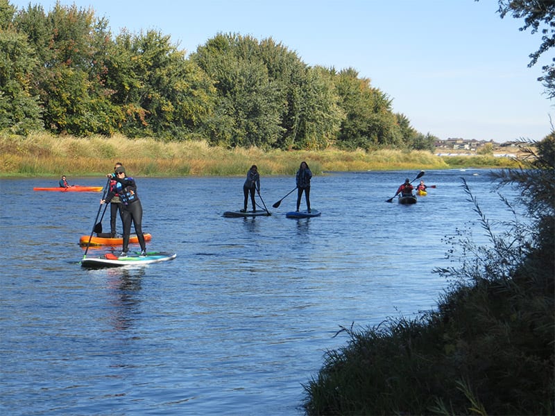
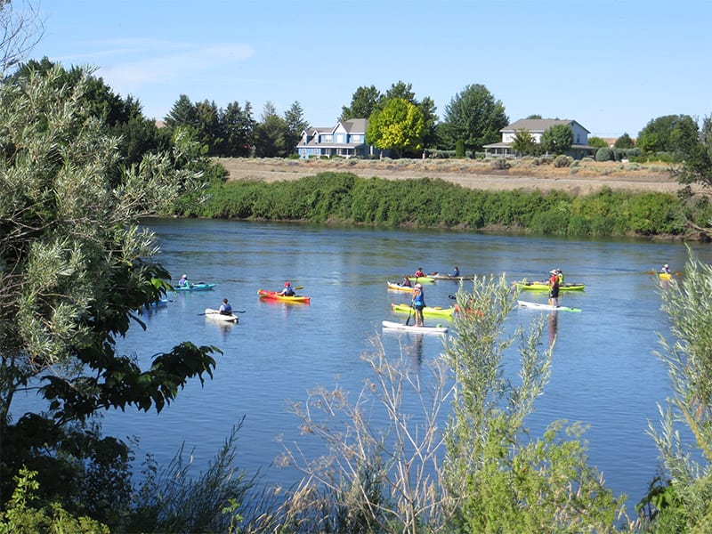
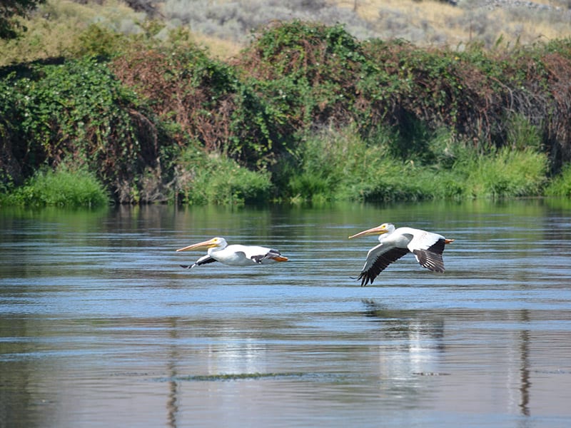
The lower Yakima River is narrow, shallow, and intimate - you get close to the surroundings and wildlife with few motorized boats. It twists and turns in ways you might not expect - in floating several miles of the lower Yakima, you can be headed north, south, east, and west all in the same journey. Along that journey there will be a combination of natural, agricultural, suburban, and urban environments.
Pelicans are particularly plentiful along the Yakima River and it is not unusual to spot great blue herons and egrets. It is not uncommon to see deer and occasionally coyote.
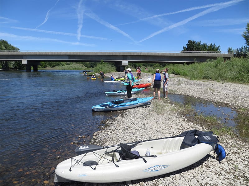
There are ten well-spaced launch sites along the water trail. These include three paved launches, three WDFW launches which require a Discover Pass to use and four more primitive access sites.
We have posted signs to help locate the access sites. On the road you will see directional signs with the Tapteal Water Trail logo directing you to the site. Next to the river you will find a sign with the name of the site, river mileage and a map indicating where you are on the water trail. On the river, ALERT signs are posted before you reach each access site (with the exception of Benton City at Mile 0). At some sites there are informational boards with the Tapteal Water Trail Map and some sites have a bike rack for leaving a bike and or your canoe/kayak while you shuttle.
Click on each of the locations below for more information

1 - Benton City, Mile 0
Paved launch, info board, toilet, picnic area, and parking.
2. Upper Horn Rapids, Mile 6.72 - Upper Horn Rapids, Mile 6.7
Primitive launch, shuttle rack, and limited parking.
3. Omaha Beach, Mile 9.23 - Omaha Beach, Mile 9.2
Primitive launch.
4. Horn Rapids Park, Mile 114 - Horn Rapids Park, Mile 11
Paved launch, info board, shuttle rack, parking with adjacent toilets, picnic area, and camping.
5. Wanawish Portage, Mile 11.355 - Wanawish Portage, Mile 11.35
You must exit the river above the dam! Primitive portage, limited parking.
6. Snively Road, Mile 13.56 - Snively Road, Mile 13.5
Seasonal toilet, info board, shuttle rack, parking. Discover Pass required.
7. Treasure Islands, Mile 15.657 -Treasure Islands, Mile 15.65
Private islands owned by Tapteal Greenway but open to public access.
8. Hyde Road, Mile 218 -Hyde Road, Mile 21
Seasonal toilet, info board, shuttle rack, parking. Discover Pass required.
9. West Richland Landing, Mile 21.259 - West Richland Landing, Mile 21.25
River access may be difficult. Adjacent parking and toilets, food nearby.
10. Duportail Road, Mile 24.1710 -Duportail Road, Mile 24.17
Seasonal toilet, shuttle rack, parking. Discover Pass required.
11. Chamna Natural Preserve, Mile 25.1311 - Chamna Natural Preserve, Mile 25.13
Toilet, info board, shuttle rack, parking.
12. Bateman Island/Wye Park, Mile 30.6612 - Bateman Island/Wye Park, Mile 30.66
Parking, info board, adjacent toilet and food nearby.
Wanawish Dam
DANGER - DO NOT ATTEMPT TO GO OVER THE DAM. The portage exit is marked by a large sign on the left bank about 500' above the dam. The put in is about 400' below the dam.
Life Jackets Required
Washington state code requires that all vessels be equipped with a personal floatation device (PFD) for each person and that PFDs must be worn by children ages 12 and under while on the water for vessels under nineteen feet in length (RCW79A.60.160).
The water trail three sections